Public InfoBanjir Malaysia: How to Check River Levels & Flood Alerts
A practical Public InfoBanjir guide for Malaysia: find nearby monitoring stations, interpret Alert, Warning and Danger, and prepare for possible floods.

Source: Source: JPS / DID Malaysia, Public InfoBanjir (publicinfobanjir.water.gov.my); water-level threshold descriptions; verified 20 Oct 2026.
If you live in or travel through a flood-prone part of Malaysia, checking a forwarded WhatsApp screenshot is not enough. Public InfoBanjir, run by the Department of Irrigation and Drainage (JPS/DID), lets you inspect river-level stations, rainfall information and official flood-related notices.
The most useful habit is to find the right local station, check when its data was updated and verify official warnings before making decisions. Then make sure your family has a practical emergency plan.
What can Public InfoBanjir tell you?
The official Public InfoBanjir portal provides information from river water-level and rainfall-monitoring stations in Malaysia, along with relevant warnings and notices.
A station reading measures conditions at that station. It is not a live measurement of water depth outside your home, and it does not account for every blocked drain, underpass or low-lying road.
How to check water levels for your area
- Open Public InfoBanjir and scan the latest notices.
- Find Aras Air / Data Aras Air Sungai, or start from its river-level data page.
- Use the Negeri (state), Daerah (district) and Stesen (station) selectors where available.
- Choose a station relevant to your home, workplace or planned route. The nearest-sounding river is not automatically the most relevant one; check its location and basin.
- Compare the current level and the station's Normal, Waspada, Amaran and Bahaya thresholds.
- Check Kemaskini Terakhir (last updated) and, if available, its recent graph. Then review official instructions for your location.
Never assume that a blank reading, outdated timestamp or offline station means conditions are safe.
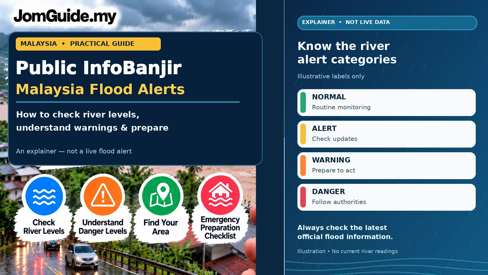
What do the four water-level statuses mean?
| Malay level | English meaning | Practical takeaway |
|---|---|---|
| Normal | Normal | Water is within the station's normal threshold; local roads may still flood. |
| Waspada | Alert | Levels are rising above the normal reference and warrant closer monitoring. |
| Amaran | Warning | The river is approaching a flood-related threshold. Prepare and follow local advice. |
| Bahaya | Danger | Dangerous river levels and possible overflow demand close attention to official instructions. |
These thresholds vary by monitoring station. A water level of five metres at one river cannot be compared blindly with five metres at another.
Also check rainfall and official notices. Flash flooding or drainage problems can occur away from a river station reporting Normal.
Three situations where the data helps
1. A family considering whether to evacuate
Imagine a nearby river station moves from Alert towards Warning. Check its most recent measurement and any local authority notice. Put important documents, prescribed medicine and essentials together early. Follow any official evacuation instruction immediately rather than waiting for water to enter your home.
The reading helps you prepare; it cannot predict exactly which house will be flooded.
2. A driver commuting through a flood-prone route
Before leaving, check relevant stations and current road announcements. A normal river reading does not mean a flooded stretch of road is safe to cross. If you encounter a flooded road or closure, do not drive through it.
3. A shop owner protecting stock
Make digital backups of key business records, prepare a basic inventory, move important documents and vulnerable stock to safer storage when there is time, and confirm a staff contact plan. Leave promptly when authorities direct you to; protecting people matters more than protecting goods.
Your family's flood-preparation checklist
- Documents: Identity cards, important records, waterproof copies and emergency contacts.
- Essentials: Drinking water, suitable ready-to-eat food, a torch, phone charging supplies and a power bank.
- Health and care: Regular medication, basic first-aid items, and essentials for babies, older relatives or anyone needing support.
- Family plan: Agree on a meeting or contact point and identify local official information channels.
- Evacuation information: Know how to find announced relief centres, but do not assume a particular centre is open.
- Updates: Recheck water levels, weather warnings and instructions from local authorities.
Adjust the checklist for your household rather than copying a generic list without considering who lives with you.
Three mistakes worth avoiding
'No flood warning' means my street is safe
Not necessarily. A portal's current notices cover specific locations and times. Surface water and blocked drains may still pose local risks.
One station represents the whole state
No. River conditions and warning thresholds are specific to the relevant stations and catchments.
Forwarded screenshots are the fastest source
They can also be out of date or taken from another district. Check the station name, official portal and timestamp before acting on a screenshot.
Use the right official tool for the right question
For thunderstorms, use METMalaysia's myCuaca and our myCuaca 3.0 guide. For rivers and rainfall stations, use Public InfoBanjir. If you are checking whether a damaged vehicle is covered, see our separate guide on car flood insurance and Special Perils.
JomGuide's bottom line: Official data helps you judge the situation; family preparation helps you act in time. Use both.
Verified as of 20 October 2026. Official sources: Public InfoBanjir home and river water-level data.
Useful? Forward it to someone who needs it.
Malaysian policy and hot topics, 2–3 items a week, each with a one-line “so what”.